What a buyer cannot see from the doorway
Ground-level photographs answer what the rooms look like. They cannot answer how big the lot is, how the house sits on it, what backs onto the garden, or how far it really is to the park at the end of the road. Those are the questions that decide whether a buyer drives out on a Saturday, and from the air they are answered in a single frame.
Every aerial session is flown to the same standard as the ground set and delivered with it, so the gallery reads as one shoot rather than two. Flights follow FAA rules and local restrictions, and we confirm that your address is flyable before the booking is fixed.
Flown and edited to the same standard as your listing photos, delivered together, and ready for the MLS, the portals and social.
What’s included
Photos and video
Every session includes high-resolution drone stills plus a short video clip, both ready for the MLS and social.
Delivered together
Aerials arrive with your listing photos: proofs within 6-12 hours of the shoot, final edits 18-24 hours later.
Airspace checked first
Flights follow FAA rules and local restrictions; we confirm your address is flyable when you book.
Homes and commercial
The same session covers houses, land and retail or commercial buildings, including top-down site views.
What an aerial shows
The lot, not just the house
Boundaries, setbacks and the shape of the garden read instantly from above. A buyer sees how much land there is and how it is arranged, instead of trying to assemble it from a fence line in the corner of a ground shot.
Where it sits
Parks, water, treelines and the street pattern place the property in its neighborhood. For buyers relocating from out of town, that context is often the thing that makes a listing worth a viewing at all.
The roof and the approach
Roof condition, driveway, parking and outbuildings are all visible in one pass — the practical questions a buyer would otherwise ask at the showing, answered before they book it.
Evening as well as daylight
A twilight pass shows the house lit and the sky still colored, which is the frame that stops a scroll. It is flown when the light is right, not simply darkened afterwards.
Recent work
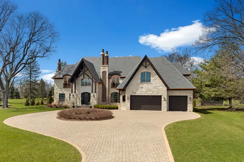
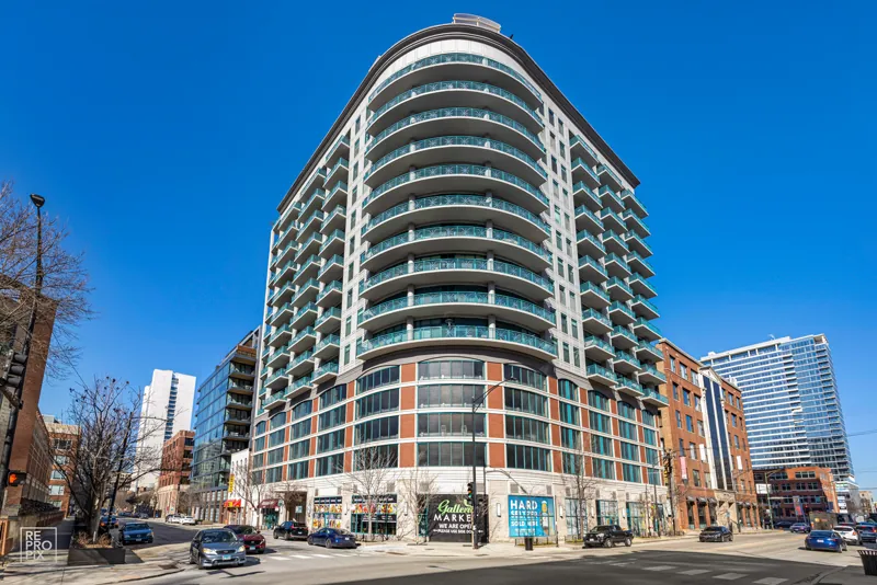
Homes, land and commercial sites across the Chicago area — daylight and twilight, including top-down views, all from recent sessions.


Recent Chicago-area aerial work by Repropix.
What you can do with them
Lead the listing with it
An aerial as the first or second image gives the gallery somewhere to start that no interior shot can. It is the frame that makes a scroller stop and open the listing.
Show the site, not a sentence
Corner lots, long driveways, large lots and outbuildings stop needing a paragraph of description. One frame carries what the copy was trying to say.
Commercial and land
Retail frontage, parking counts and site access all read from a single top-down pass, which is what a commercial brochure or a site plan needs.
One handover
Aerials, listing photos and any other service booked together come back in one delivery, so nothing is chased separately.
Frequently Asked Questions
What is aerial photography?
Aerial photography captures a property from above with a professional drone, showing the building, lot size, landscaping, and surrounding neighborhood from a bird’s-eye view that ground-level photos can’t match.
Does an aerial session include photos and video?
Yes. Every Repropix aerial session includes high-resolution drone photos plus a short drone video clip, ready for the MLS and social media.
How quickly are aerials delivered?
Aerial photos are always delivered together with your listing photos: proofs within 6–12 hours of the shoot and final edits 18–24 hours after that. Drone video arrives with your final listing media.
How do I get my files?
Your photos arrive by email with a one-click download link and are saved in your Repropix account, so you can download them again at any time. Proofs arrive within 6–12 hours of your shoot, and final edited photos follow 18–24 hours after that.
Are there places where drones can’t fly?
Drone flights follow FAA regulations and local restrictions, so we can’t fly in controlled airspace near airports or in restricted areas without prior authorization. We’ll confirm availability for your address when you book.